Presenter Gaoke DU( Senior Wireless Research expert on Vertical Industry from Huawei)
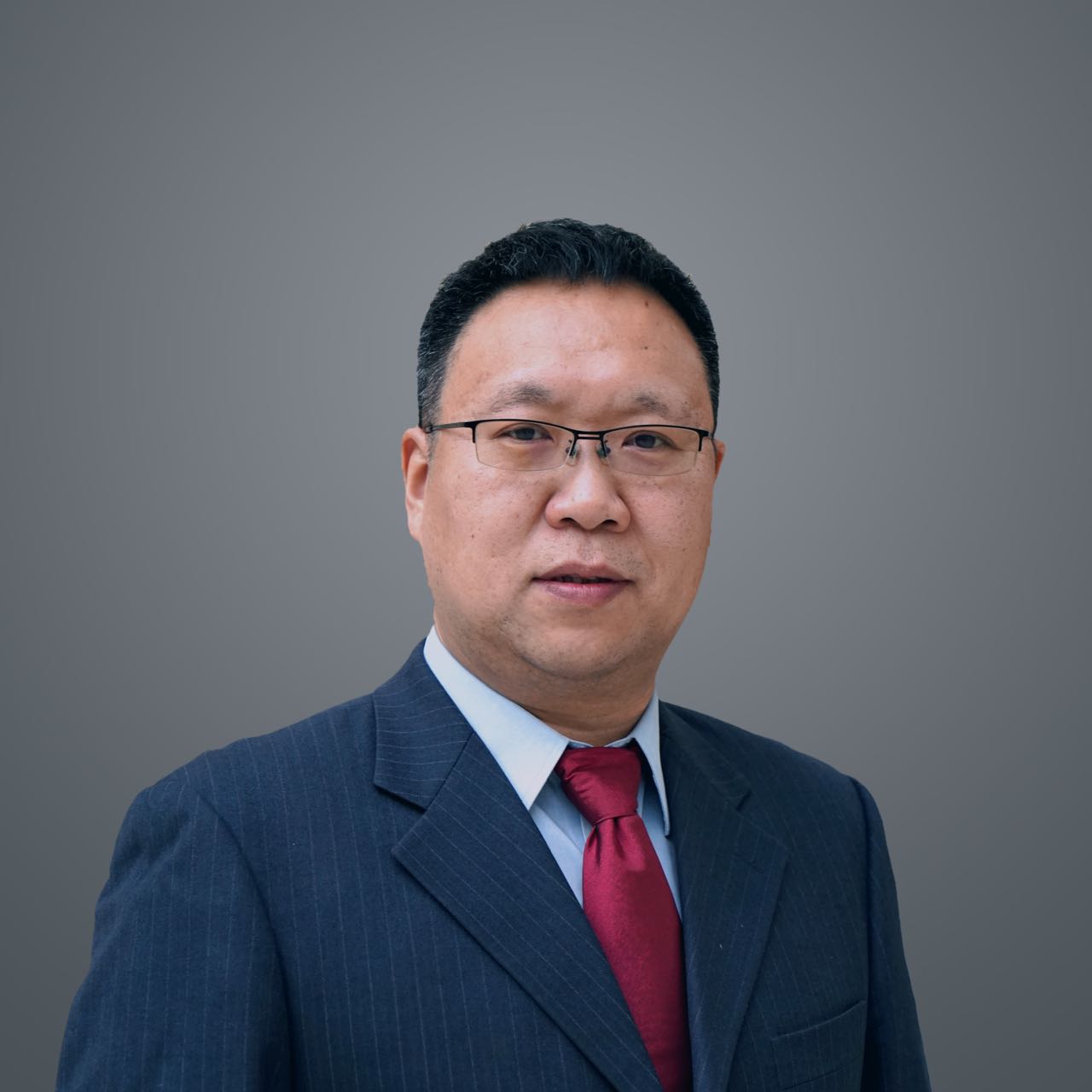
Biography:
Mr. Gaoke DU is a Senior Wireless Research expert on Vertical Industry, the head of Huawei
Wireless System Innovation Research Department. He graduated from Beijing University of
Post and Telecommunication in 2001, deeply involved in HSDPA, LTE, NB-IoT, NR
standardization in the past twenty years. He has more than thirty patents and publications.
Meanwhile, he initiated wireless research for vertical industry since 2011, and the research
project covers LTE-Trunking, Video transmission, Internet of Things, industrial Internet of
things. Some research results were applied to 3GPP standards and related products, such as
NB-IoT, LTE-V. His current research interests include UL transmission enhancement(UCBC),
Zero power communications (Passive IoT) , and Integrated Sensing and communication
(HCS) etc for 5G Advanced systems.
Topic:
Harmonized Communication and Sensing for 5G-Advanced Systems
Abstract:
With the rapid development of wireless technologies, the 5G cellular network is evolving to
generate new capabilities including positioning and sensing along with contiguous
improvement in capacity and coverage for communication. The technology of harmonized
communication and sensing (HCS) for 5G-Advanced allows cellular network to obtain the
ability of detecting and tracking moving targets even in cases of no communication
connections, which will significantly extends the applications of many emerging industries. In
the drone industry, cellular network can provide real-time flight control for cooperative
drones that are connected to the network. With sensing capability, HCS can further detect
non-cooperative drones which can be used for low-altitude security. In the transportation
industry, the information of road condition can be acquired by cellular network in real-time
via sensing, which can be used for traffic monitoring and management. Such information,
once transmitted to vehicles, can further enhance the reliability of autonomous driving. This
talk will start with an overview of evolution for 5G-Advanced. Then the use cases and
requirements for HCS are discussed, and followed by key challenges and potential solutions.
Finally, the latest progress along with testing results for HCS will be presented to demonstrate
its feasibility.
Presenter Paul Groves( Associate Professor at UCL)

Biography:
Dr Paul Groves is an Associate Professor at UCL, where he leads a program of research into robust
positioning and navigation. He is interested in all aspects of navigation and positioning, including
multi-sensor integrated navigation improving GNSS performance under challenging reception conditions, and novel
positioning techniques. He is author of the book Principles of GNSS, Inertial and Multi-Sensor Integrated
Navigation Systems. He is the recipient of the 2016 Institute of Navigation Thurlow Award and a Fellow of the
Royal Institute of Navigation. He holds a bachelor’s degree and doctorate in physics from the University of
Oxford.
Topic:
Where is indoor positioning going?
Abstract:
Research groups have developed many different indoor positioning techniques but Wi-Fi (consumer) and
UWB (professional) dominate practical applications – why is this and is it likely to change? Currently, Wi-Fi
positioning offers excellent coverage, but limited accuracy. Will the transition from received signal strength
to round trip timing improve upon this and what are the challenges? Can other techniques be added to but Wi-Fi
(consumer) and UWB (professional) dominate practical applications – why is this? Should we continue to treat
indoor and outdoor positioning as separate problems or is it time to combine them? The presentation will
explore all of these issues.
Presenter Tony Tu(VP of BDStar ICC BG ,General Manage of ICOE)
Biography:
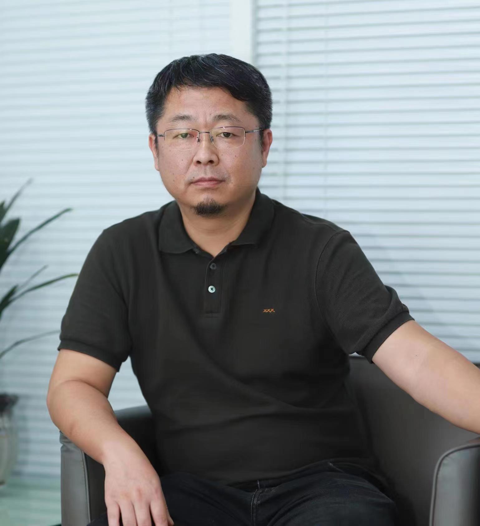
Tony Tu, VP of BDStar ICC BG,CEO of ICOE (Shanghai) Technologies Co.,Ltd. Tu is a senior engineer, and GNSS expert. He has been engaged in chip industry for more than 20 years, and has rich experience in R&D and company management. Currently, he specializes in chip design, development, and manufacturing, providing a full range of low-power “space-time sensing” chips and solutions for Internet of Things and consumer applications. He used to lead the development of the “BeiDou Baseband and Radio Frequency Integrated Chip”, which was one of the first mainstream GNSS chips targeting at BeiDou industry and consumer applications.
Prior to his current position, Tu served as:
Senior department manager of Centrality Communications,Inc. (later acquired by SiRF, CSR) Department manager and technical director of Unicore Communications, Inc.
Vice president of Wuhan Mengxin Technology
Biography:
Topic:
Navigation using Graph Optimization: A Case Study of a Smartphone User from an Urban Canyon to an Indoor Area.
Abstract:
Biography:
Topic:
ARgeo: An Augmented-Reality(AR) Engine Supporting Location-based Applications in the Mass Market.
Outline:
Prior to his current position, Tu served as:
Senior department manager of Centrality Communications,Inc. (later acquired by SiRF, CSR) Department manager and technical director of Unicore Communications, Inc.
Vice president of Wuhan Mengxin Technology
Topic:
From Outdoors to Indoors: To Build a Seamless Spatiotemporal Information Network
Outline:
1. Ubiquitous Space-Time Perception, Indoor and Outdoor Positioning Scenarios.
2. Outdoor and Indoor Positioning Market Size and Application Status.
3. From Outdoor Positioning to Indoor Positioning: The Application Demand.
4. “GNSS+” Fused Location Positioning (UWB Solution).
5. From IC to Cloud: The Trend of High Precision Indoor Positioning.
6. Technical Roadmap, Achievements and Prospects.
Presenter Li-Ta Hsu(Associate professor at Department of Aeronautical and Aviation Engineering of Hong Kong Polytechnic University.)

Biography:
Dr. Li-Ta Hsu is an associate professor at Department of Aeronautical and Aviation Engineering of Hong Kong
Polytechnic University. He is Limin Endowed Young Scholar in Aerospace Navigation He received the B.S. and
Ph.D. degrees in Aeronautics and Astronautics from National Cheng Kung University, Taiwan, in 2007 and 2013,
respectively. He was a Visiting Researcher with the Faculty of Engineering, University College London and
Tokyo University of Marine Science and Technology, in 2012 and 2013, respectively. In 2013, he won a Student
Paper Award and Best Presentation Awards from the Institute of Navigation (ION). He was selected as a Japan
Society for the Promotion of Sciences Postdoctoral Fellow with the Institute of Industrial Science,
The University of Tokyo and worked from 2014 to 2016. He is an Associate Fellow in the Royal Institute of
Navigation. Dr. Hsu currently is members of ION and IEEE and serves as a member of the editorial board
and reviewer in professional journals related to satellite navigation and unmanned autonomous systems.
Topic:
Navigation using Graph Optimization: A Case Study of a Smartphone User from an Urban Canyon to an Indoor Area.
Abstract:
One of the greatest challenges of navigation is seamless positioning. Every day, we travel inside a city. In this
travel, from the perspective of positioning technologies, the challenges of complex environments are ahead of us.
For example, sub-urban, urban canyons, inside buildings, inside public transportation, etc., require different
positioning technologies, meaning different sensors and algorithms. The various technologies imply different
engineering disciplines are involved, resulting in a great challenge in its seamless integration. This is the
bottleneck we faced for the past 30 years. With the emergence of smartphones, an integrated hardware platform
becomes available for seamless navigation. Subsequently, we faced another challenge – software integration.
Kalman filter has been dominating the integrated navigation systems of commercial solutions due to Its strengths to achieve a maximum posterior estimation and computational effectiveness. However, the Kalman filter is strongly relying on the perfect modeling of noise covariances, which is achieved by its convergence. This is particularly a challenge when the availability of sensors and measurements varies over time. Graph optimization is a strong candidate to conquer this challenge. It takes an iterative approach to quickly converge to obtain the optimal solution.
This keynote speech will focus on the challenges of using graph optimization for sensor integration and the opportunities that arise, including digital infrastructures, connectivity, and artificial intelligence to achieve the ultimate goal of seamless navigation in a city. The following topics will be covered:
1.How can existing maps such as 3D building models, and HD maps, help in seamless positioning?
2.How can artificial intelligence help in seamless positioning?
3.How can connectivity help in seamless positioning?
Finally, the importance of using accurate mathematical language will be reinforced as a conclusion to achieve this multidisciplinary research.
Presenter Tao Zhang(A senior algorithm expert in Autonavi, Alibaba Group. )

Biography:
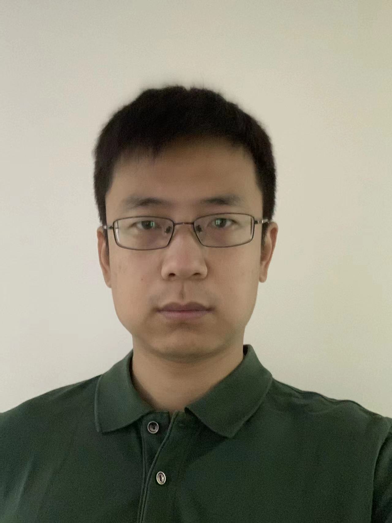
Dr. Tao Zhang is a senior algorithm expert in Autonavi, Alibaba Group. He received degrees of B.S. and Ph.D. from
the Tsinghua University, and conducted postdoctoral research in Politecnico di Milano. He has 15 years’
experience in the field of localization and navigation. Recently he leads the group involving in the high
accuracy positioning engine and AR engine. Supported by the high accuracy positioning engine, Amap published
the world’s first lane-level navigation both on phones(collaborated with Huawei) and cars(collaborated with
Xpeng). The AR engine was applied in AMap AR navigation and evolving rapidly to provide excellent AR experience
in both outdoors and indoors.
Topic:
ARgeo: An Augmented-Reality(AR) Engine Supporting Location-based Applications in the Mass Market.
Outline:
1.Present AR engine: capability, application and limitations.
2.Challenges from the location-based applications in the mass market.
3.Building the ARgeo engine based on ubiquitous signals.
4.Practical applications of ARgeo in Amap
5.Future prospects